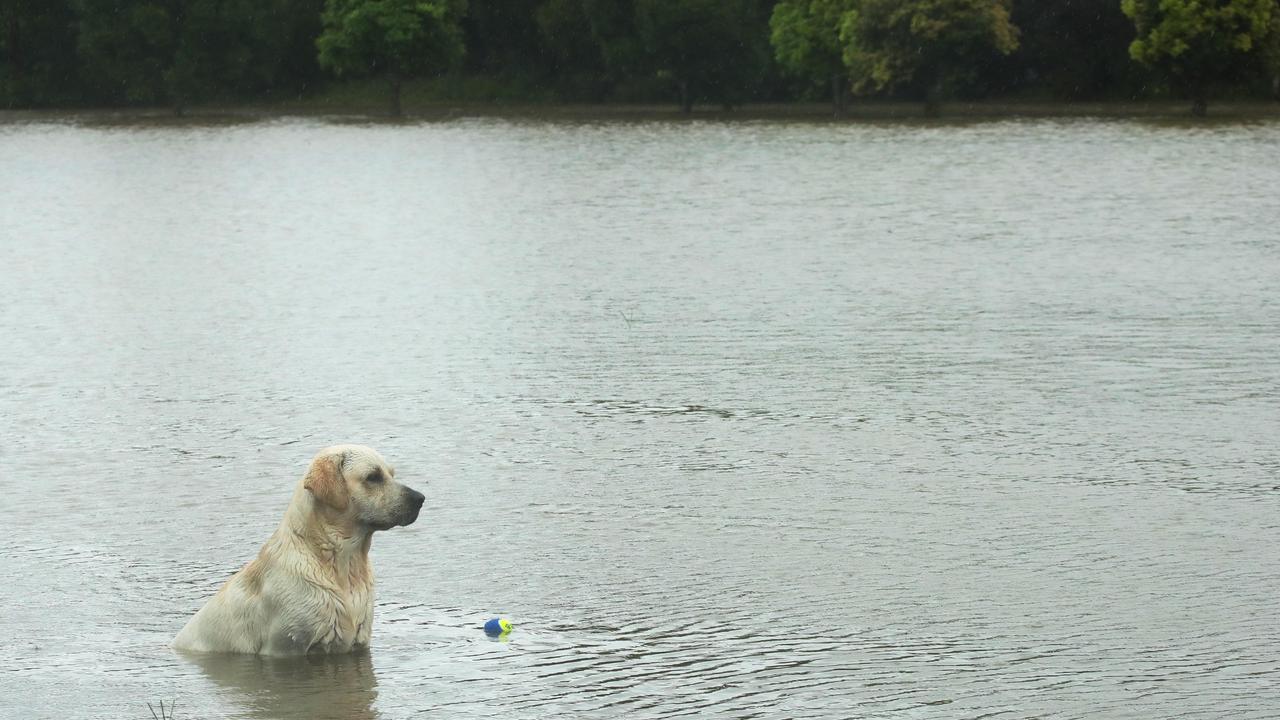
The nation’s east coast is set to cop an almighty drenching over the next couple of days with forecasters putting several communities on flood watch.
Swathes of the nation’s east coast are on flood watch as forecasters warn more than a month’s worth of rain could lash inland regions over the next three days.
Parts of Queensland had already received 150mm by Wednesday morning – with Rockhampton particularly soggy – as a potentially record-setting rain front moved east, mixing with unstable coastal conditions.
Unlike much of the wild weather the seen over the past month, the main threat on Wednesday and Thursday will be the sheer volume of rain.
The Bureau of Meteorology said western Queensland was likely to receive three times its November monthly rain total over three days, while inland NSW communities should brace for similarly heavy rain and flash flooding.
Forecaster said the biggest danger was west of the Great Dividing Range, with warnings of moderate to major flooding expected in the Peel, Gwydir, McIntrye, Macquarie, Orange, and Belubula rivers.
Melbourne and Victoria are also set to cop a drenching.
Rising water levels had reportedly already cut some roads in the Darling Downs region of Queensland, including the Gore Highway between Goondiwindi and Millmerran Leichhardt Highway cut between Goondiwindi and Moonie.
The Bruce Highway was reopened about 11pm last night after heavy rain caused flash flooding between Yaamba and Marlborough.
Meteorologist Jonathan How said it was looming most significant rain event so far this spring.
“Pretty much half the country is going to be covered in thunderstorms,” he said.
The rain tracks with a move by forecasters last month to up their La Nina climate alert.
Heavier than expected summer rainfall was tipped across the nation’s north and northeast is looking more likely after the Bureau of Meteorology (BOM) on Tuesday raised its ENSO outlook from a La Nina “watch” to “alert”.
The bureau said continued cooling in the tropical Pacific Ocean throughout September – and subsequent warmer oceans near Australia – had boosted the chances of La Nina from 50 per cent to 70 per cent, roughly three times the normal likelihood of an event forming in any year.
For all the latest Technology News Click Here