Pollution problem? Google Maps now allows you to check Air quality in your area!
Google Maps brings out a new feature that will show how good or poor the air quality is.
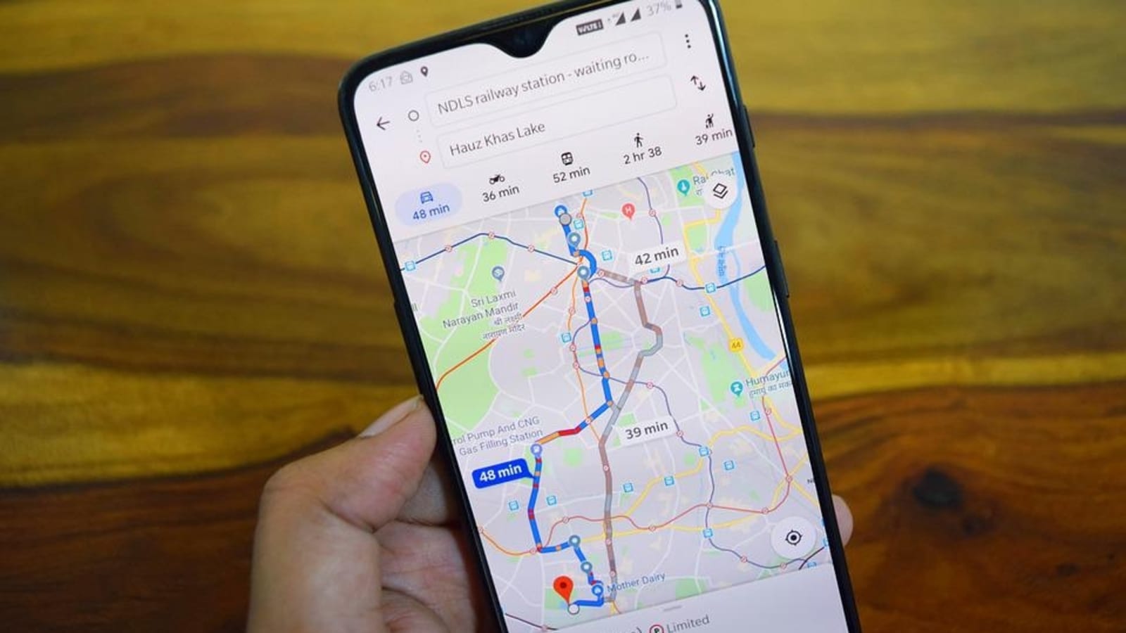
Google Maps has launched a new feature that will show the air quality index of your locality on Android and iOS mobile. Air quality index (AQI) is used by government agencies to inform the public about how contaminated the air is or will be in the future. And now, Google Maps too will tell you how excellent or poor your area’s air quality is. It will function similarly to Nest hubs and Pixel phones. Google Maps already hosts a bunch of features that help people navigate around the city by giving them real-time traffic updates, and displaying available public transport in the area. Now, by adding air quality Index, it has become more useful.
Air quality has become a serious issue in many parts of India, especially in big cities and stays that way throughout the year. Google says it is sourcing the data from the National AQI reader provided by the Central Pollution Control Board or CPCB. Also Read: Google Maps user? Check the new features that have just been rolled out
The feature gives you AQI levels from 0 to 500 which is measured in green colour to dark red, which shows the severity of the pollution in the air. Currently, you can only see the AQI readings, along with the quality of the air giving you advice on whether you should risk stepping out or avoiding it. Also Read: Google Maps Dock to bottom feature to let users save select locations
For all the latest Technology News Click Here

