Early taste of summer arrives
The nation’s east coast is set for a dramatic change of weather less than a week after copping torrential rain and storms.
It’s only been a couple of days since the nation’s east coast was lashed by torrential rain, hail – and even a tornado – but forecasters are expecting things to heat up.
Sydney was on Monday bracing for its hottest day in three weeks, while Brisbane residents could get their warmest weather since April, as the countdown to summer begins.
Sydney is expecting clear skies and a top of 28C on Monday, with the Bureau of Meteorology tipping temperatures to stay in the low-to-mid-20s all the way through to the weekend as a high pressure system moves across Northern NSW.
This comes just days after heavy storms lashed the city and a tornado ripped through the state’s Central West, causing destruction in Meadow Flat and Clear Creek near Bathurst.
Sydneysiders enjoyed a couple of days of heat in mid-September but a top of 28C would be the city’s fourth warmest day since early April.
The mercury is set to get even higher in the Sunshine State.
The Bureau is calling a maximum temperature of 32C for Brisbane on Monday – the warmest temperature in nearly six months – and a run of temperatures in the high 20s for the rest of the week.
Parts of Queensland are expected to get to 40C, with Mount Isa having reached 40.9C on Sunday.
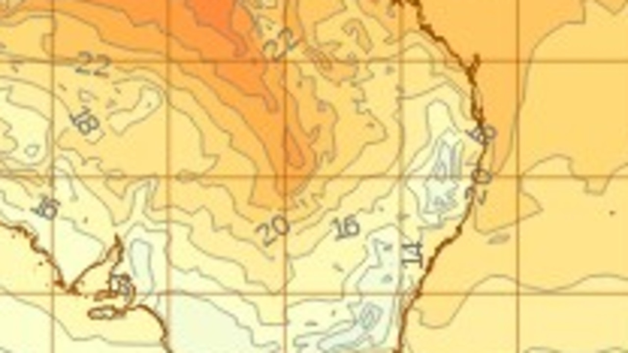
The BoM says October to December maximum temperatures are likely to be above median for the far north of Australia extending down western Western Australia, southern Victoria, and extending just over the SA and NSW borders, and Tasmania.
For all the latest Technology News Click Here

