Australians are bracing for more pain from rain this summer as third La Niña confirmed | CNN
CNN
—
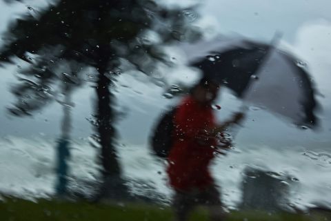
Much of Australia will face unusually heavy rains in coming months, the country’s weather forecaster said on Tuesday, after confirming that a La Niña weather event is under way for the third year in a row and would likely last into next year.
The Bureau of Meteorology firmed up its guidance for this year for the weather pattern known in Australia to produce wet, windy summers, saying it was now under way after it previously had forecast a high chance.
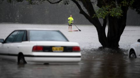
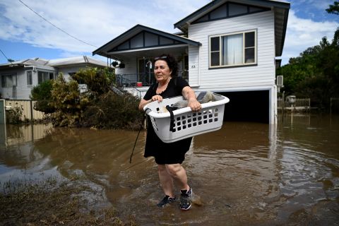
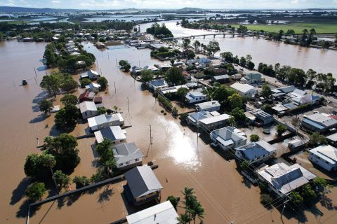
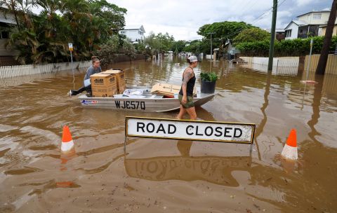
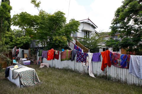
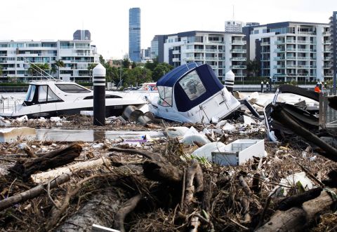
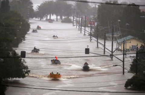
The event puts the country’s densely populated east coast on alert when many residents are still rebuilding after floods linked to the most recent La Niña, which ran into early 2022.
The weather phenomenon was among factors that would “push Australia’s climate towards a wetter phase and … have shaped our outlook for the coming months that shows more than 80% chance of above average rainfall for many parts of the eastern half of Australia,” the bureau said in a statement.
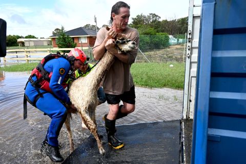
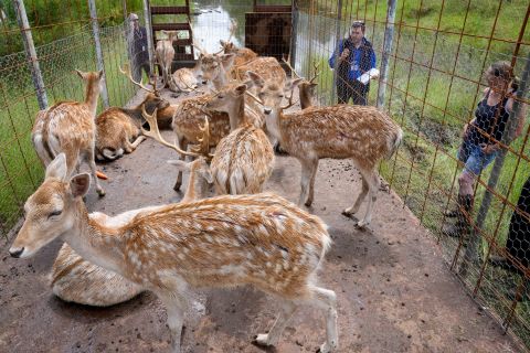
Wild weather swings in Australia brought its worst bushfires in a generation in late 2019 and early 2020, followed by two La Niña patterns, which swelled rivers beyond their banks and left thousands of flooded homes uninhabitable.
“This is not good news for communities, businesses, homeowners, and renters who are living or operating out of buildings and dwellings that are at risk from inundation,” said Mark Gibbs, an adjunct professor with Queensland University of Technology’s Institute for Future Environments.
“This may be particularly problematic for those that are still recovering from recent floods, especially in light of the present challenges in securing the services of builders and building suppliers,” he added.
With La Niña, sea surface temperatures in the eastern Pacific Ocean are cooler than normal, while waters in the western tropical Pacific are warmer than normal, generating moisture that brings rain to eastern and central Australia.
While La Niña – an the opposite El Niño – events are regular aspects of global weather patterns, increased global temperatures may temper or change their effects. La Niña tends to pull down global temperatures, but in recent years, the planet has warmed so fast, it’s like hitting a small speed bump at 80 mph – it barely even registers.
It’s likely too early to know how climate change will affect those patterns; research is beginning to show how a warming climate may amplify the effects of El Niño and La Niña. Climate change could increase the severity of weather events stemming from El Niño and La Niña patterns, according to a 2018 study on atmospheric conditions that ran simulations of climate conditions.
Top spots on the warmest-years list used to be reserved for the strong El Niño years, but human influences have long since overwhelmed the planet’s natural temperature regulators. For instance, La Niña was present during parts of 2020, but the year still tied with 2016 (an El Niño year) as the hottest on record for the planet.
For all the latest world News Click Here


